
“A neighbourhood video should help a prospective resident test daily fit: movement, services, edges, timing and trade-offs—not just photogenic venues.
The specific failure
A café montage turns a place into a mood board. It omits school runs, access points, noise at different times, walkability constraints, service availability and the distance between a building and the things residents actually use. The result sells atmosphere while leaving practical questions unanswered.
A practical decision framework
Map the area by resident task rather than attraction: arrive, park, walk, shop, work, care for children, exercise and leave. For each route, record what the camera can verify, what requires a dated source, and what varies by time. Distinguish “visible from this route” from “available to residents.” Avoid declaring safety, convenience or community quality without an authoritative basis.
A clearly hypothetical property example
Implementation and measurement
Use a route board with map pins, permission status and capture time. Add captions that identify observation versus sourced fact. W3C says captions are synchronized text and transcripts can add logical structure and clarification. Measure saves, route-related questions and property-page actions; survey viewers on which unanswered task stopped them from visiting. Include a route or landmark only when the filming path and approved location information support the description.
Put it to work
- Storyboard the neighbourhood around resident tasks.
- Label filmed observations separately from sourced facts.
- Log questions about routes, timing and missing services.
Sources and visual credits
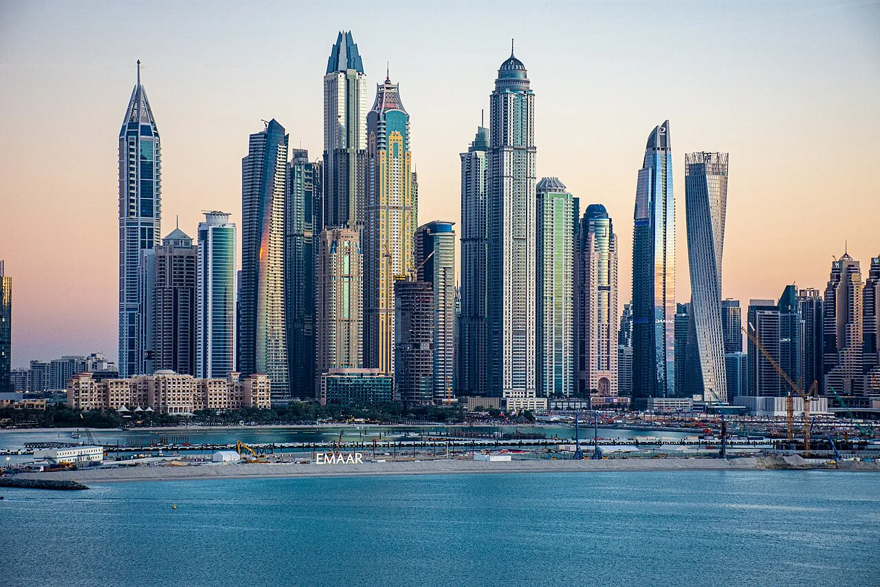
Illustrative photograph: Dubai Marina Skyline. It does not depict the hypothetical example. Norlando Pobre · CC BY 2.0 · Wikimedia Commons · CC BY 2.0